Open Ground
Where can I still get ground, and which of it is worth having?
Which ground is open, held or excluded, read from each authority's own register, with open blocks ranked on the deposit record and the cost of access measured on its own.
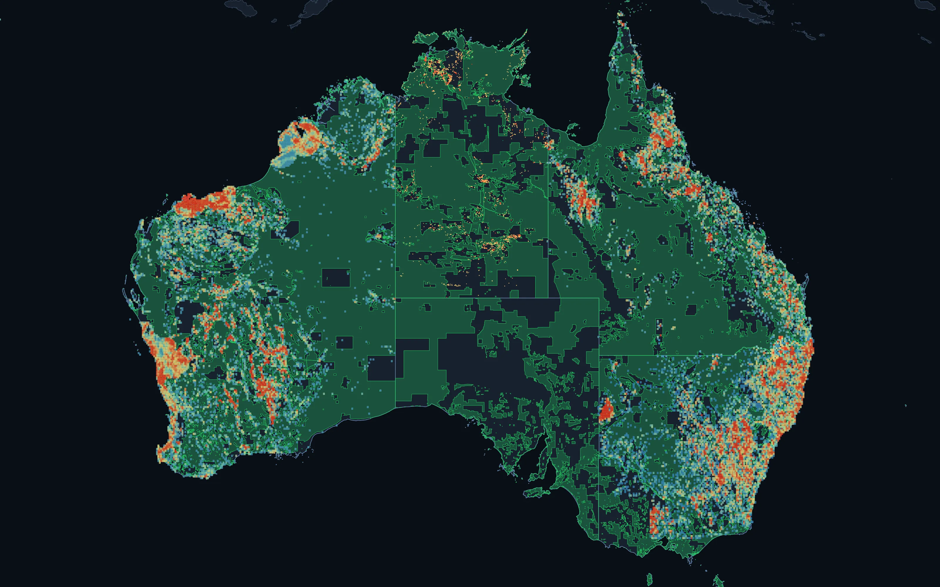
Australia: open ground in green, with open pegging blocks ranked by recorded mineral endowment from low (blue) to high (red). An endowment screen of the recorded deposit record, not modelled prospectivity.































Data published by 80 organisations ·Names and logos belong to their owners; no endorsement or partnership is implied. All 80 sources
The problem
Open ground is three questions, not one.
Most screens ask one question, whether a title sits over the ground, and return everything that says no. We answer three, and keep them apart: is it open, is it endowed, and is it accessible.
In Queensland, every one of the state's 606,936 statutory sub-blocks is classified against a dated register snapshot and screened on real geochemistry and occurrence data.
- 55
- Jurisdictions
- Open ground computed across 38 countries
- 46.5M km²
- Land assessed
- Every piece classified against the register
- 34 of 55
- Exclusions applied
- The other 21 subtract live tenure only and are marked optimistic
- 1.4M km²
- US claimable ground
- Open BLM and Forest Service land, where a lode claim can be located
Three measures, kept apart
Open. Endowed. Accessible.
Each is computed from its own evidence and reported on its own, so a shortlist can always be traced back to the reason each block is on it.
Open
Can a title be granted here?
- No live title. Another party's pending application is not yet separated, so every block is checked against the live register before anyone acts on it
- Not inside a statutory exclusion, reserve or moratorium
- Mineral and petroleum regimes read as the statutes read them
Endowed
Is the ground worth having?
- Open statutory blocks ranked on the recorded deposit and occurrence record
- Percentile within each state or province, not a national average
- Labelled as an endowment screen, never as modelled prospectivity
Accessible
What will it cost to reach?
- Native title, heritage and conservation
- State resource-land policy, landholders and land value
- Distance to the grid, rail and road
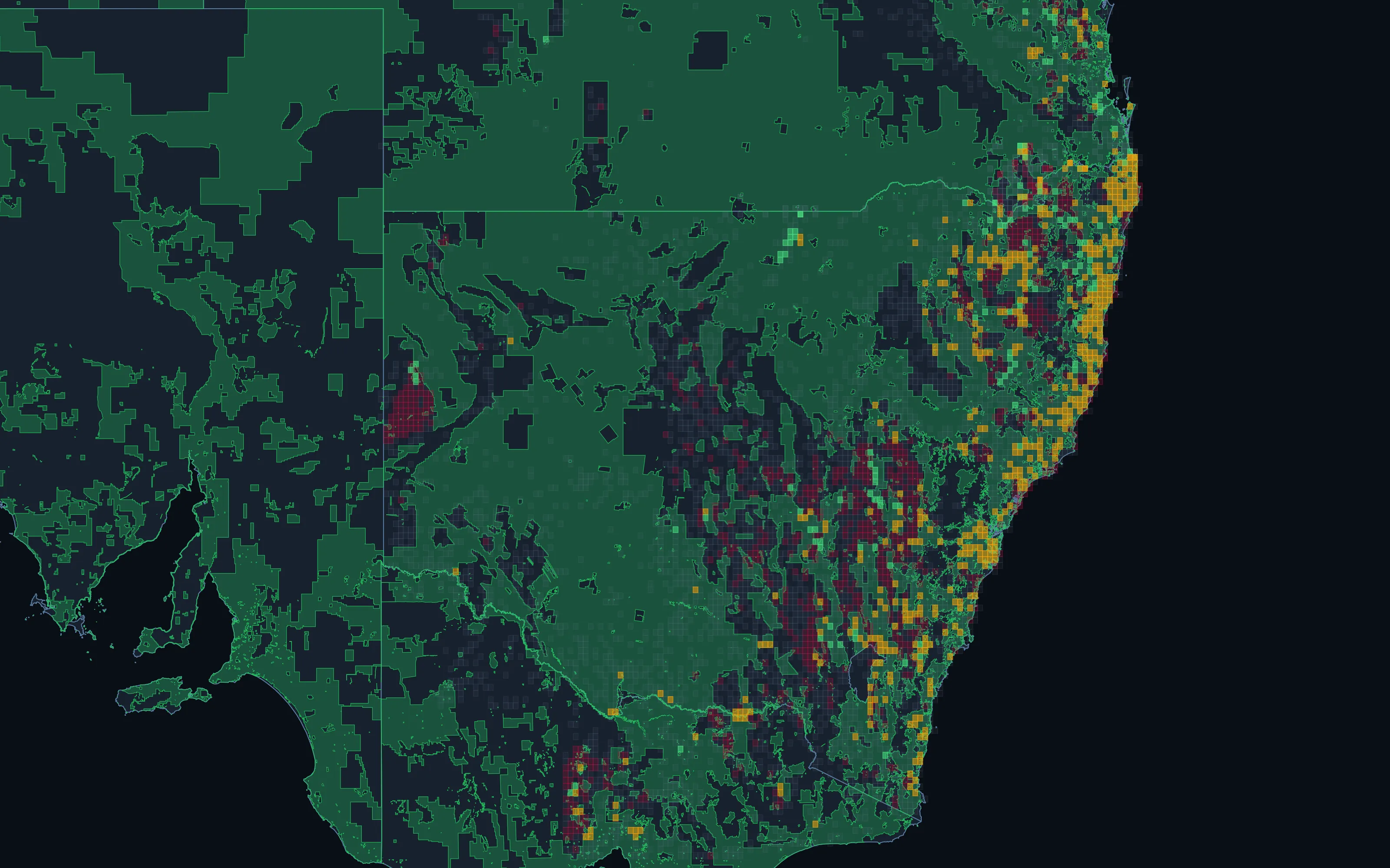
Read more: the access picture in Australia, layer by layer
In Australia the gate is rarely local zoning: tenure is granted under the state mining acts. What decides how hard ground is to reach is native title, heritage, conservation, state resource-land policy, the landholders and what their land is worth, and whether there is grid and road to get product out. Each is held as its own layer, and a block that could only run some of the tests says so.
Culturally sensitive heritage places are held by outline only, never by name.
11 million
Land parcels with zoning
New South Wales, Queensland and Victoria
2.7 million
Land values
Per hectare, New South Wales
2,900
Native title records
Determinations and agreements, national
31,000
Resource-land policy areas
New South Wales and Queensland
28,000
Conservation areas
Every conservation layer held
1.5 million
Threatened species records
New South Wales and Queensland
18,000
Transmission lines
National
4,900
Substations and power stations
National
Reading the statutes
A petroleum title is not a mineral title.
Where a petroleum title does not bar a mineral one, counting every live title as "held" writes off ground you can still peg. Measured from each authority's own register:
| Jurisdiction | Open, any title | Open, mineral title | Difference |
|---|---|---|---|
| Alberta | 23.6% | 42.3% | 123,666 km² |
| Northern Territory | 62.8% | 80.2% | 234,816 km² |
| Saskatchewan | 65.3% | 78.0% | 82,832 km² |
| Queensland | 61.5% | 67.9% | 110,920 km² |
Mineral and petroleum titles are separate statutory regimes in these jurisdictions; a petroleum title does not bar a mineral one. Open ground for a MINERAL title is therefore larger than open ground for any title. Percentages are of each jurisdiction's land area. Dated snapshots: a pegging decision needs a live register query on the day.
What it produces
The output.
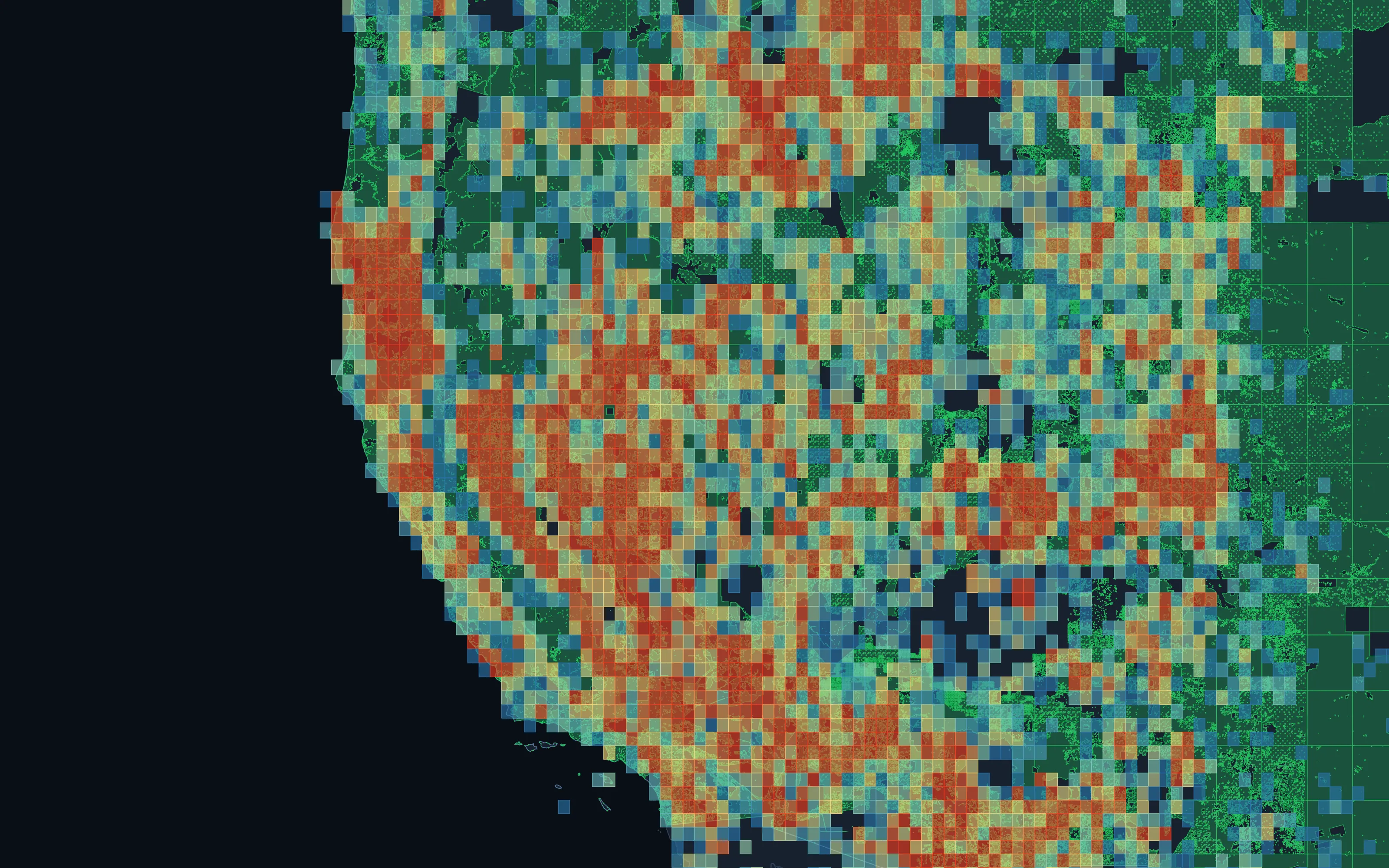
A jurisdiction-wide classification and a ranked shortlist, as a written assessment and GIS layers.
Availability classification
Open, held, under application, moratorium or excluded, with holder, status and expiry for every title.
Mineral and petroleum separated
Ground open for a mineral title shown as open, even under a petroleum title.
Ranked open blocks
Open blocks ranked on the recorded deposit record within each state, labelled as an endowment screen.
Land-access screen
Native title, heritage, conservation, land policy, landholders, land value and infrastructure, where the data is held.
Change detection
Each register refresh compared with the last, so newly open and newly taken ground surfaces on its own.
Straight into the next step
Shortlisted areas handed on for due diligence or a spectral survey.
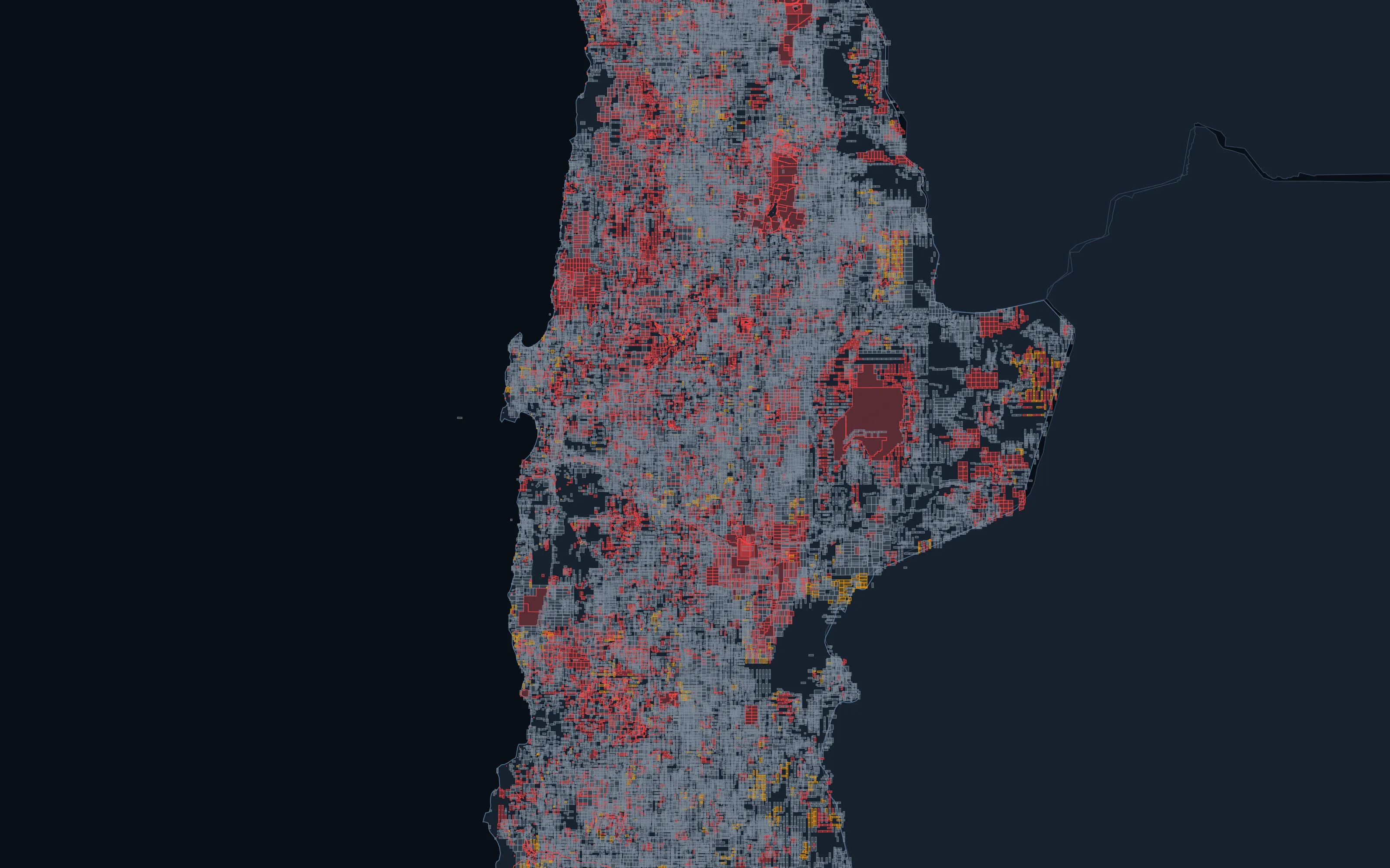
How the classification is built.
- 01
Take the register
Current titles and applications from the licensing authority, with the snapshot date recorded. Where a live query is possible at assessment time, we use it.
- 02
Apply the rules
Statutory exclusions, reserves and moratoria, with mineral and petroleum regimes treated as the law treats them in that jurisdiction.
- 03
Classify the ground
Every piece of the jurisdiction classed, with title overlaps kept rather than flattened, so a class can always be traced to the title behind it.
- 04
Rank what is open
Open blocks scored on the recorded deposit and occurrence record, as a percentile within their own state or province.
- 05
Screen the access
Each land-access flag computed on its own, and counted only where its data is held. A block with fewer tests says it was partly assessed.
- 06
Re-run on change
Registers move weekly. Each refresh is compared with the last, so newly open ground is visible the day it appears.
Straight talk
What this is, and what it isn't.
We would rather say less than claim more than the evidence supports.
It is
- A dated classification of availability, computed from the licensing authority's own register
- An endowment screen of the recorded deposit record, labelled as exactly that
- Explicit about coverage: in 21 of 55 jurisdictions no exclusion layer is held, and the open figure is marked optimistic
It is not
- A pegging verdict: a decision needs a live register query on the day
- Modelled prospectivity, which is a separate service with its own testing
- Legal advice on native title, heritage or land access
- One opaque score that merges availability, endowment and access
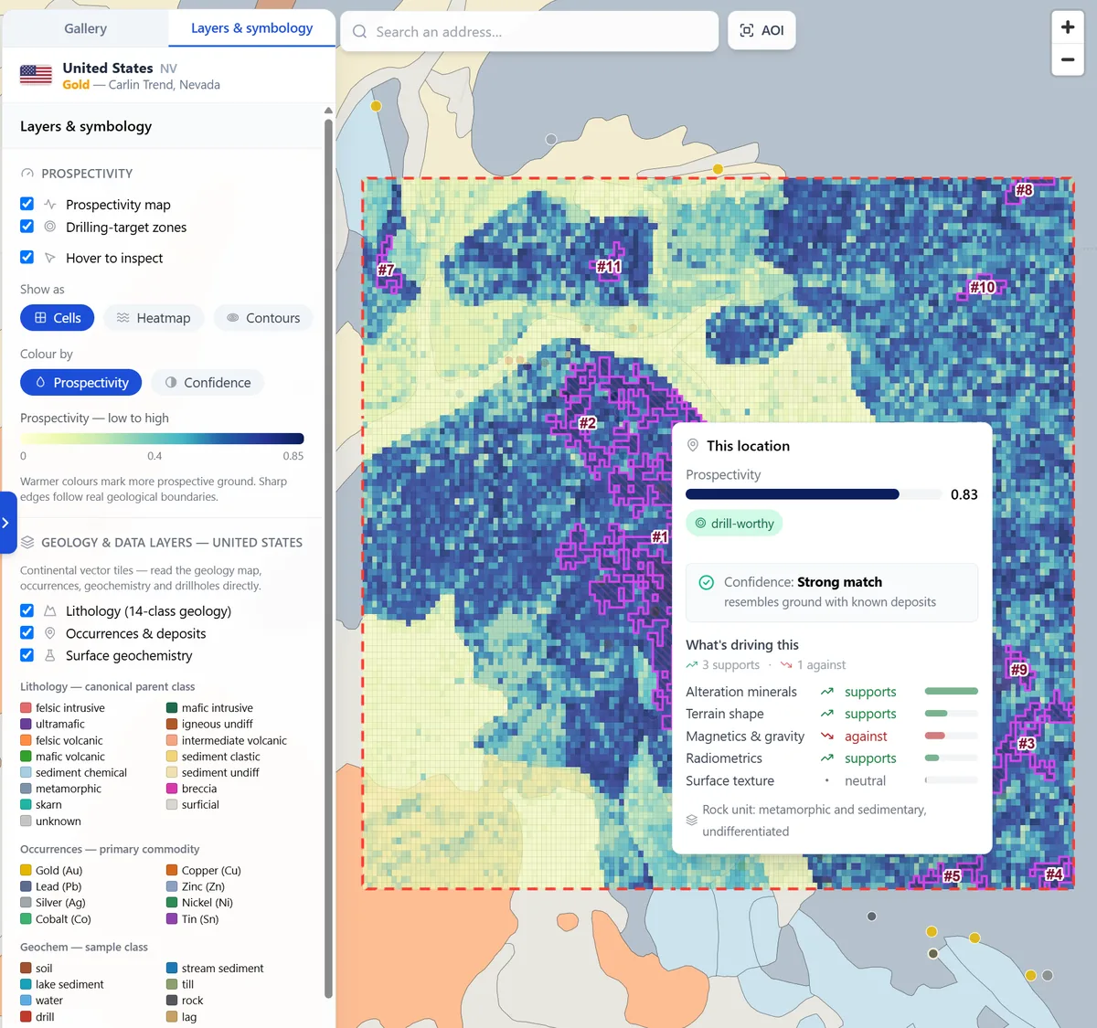
Next in the workflow · 03
Prospectivity Targeting
Where is this mineral most likely, and why?
Continue-
Partners
Exploration and mining companies interested in working with us.
-
Investors
The record, the models and the ground they point to.
-
Publishers and researchers
Geological surveys, universities and programmes whose work the record is built on.